
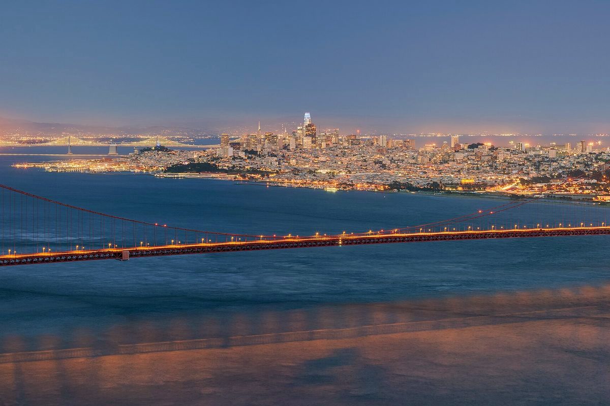
Angel Island is a true island, State Parks reminds visitors: no road or bridge reaches it. The whole island is a state park, and its history runs from Coast Miwok hunting and fishing grounds to Army forts and one of the country's most important immigration sites.
Getting there
Public ferries run from Tiburon and San Francisco, operated by the Angel Island Tiburon Ferry and the San Francisco Golden Gate Ferry, and a combination Alcatraz and Angel Island tour is also sold. Boaters can use day-use slips in Ayala Cove (only 16 are currently open) or overnight mooring buoys. A seasonal cafe, bike rentals and tram tours are run by a concessionaire, and campsites and picnic sites are reserved through ReserveCalifornia.
The Immigration Station
On the island's northeast corner, the Immigration Station is a National Historic Landmark where officials detained, inspected and examined about 1 million immigrants, mostly from Asia, according to Wikipedia, which notes that it is often compared to Ellis Island. The museums, including the Detention Barracks Museum, currently keep limited hours, so check before you go. The island's other historic sites include Camp Reynolds (the West Garrison) and Fort McDowell (the East Garrison).
The summit
The island's high point, almost exactly at its center, is Mount Caroline Livermore, at 788 feet. On a clear day, Sonoma and Napa are visible from the north side of the island and San Jose from the south side. Most of the island is within the town of Tiburon, but a small slice of its eastern end lies in San Francisco. Until about 10,000 years ago, Angel Island was connected to the mainland, until rising seas cut it off.
Earlier this month: after a prescribed burn on the island blanketed Richmond in smoke, air regulators reviewed how burns are approved.