
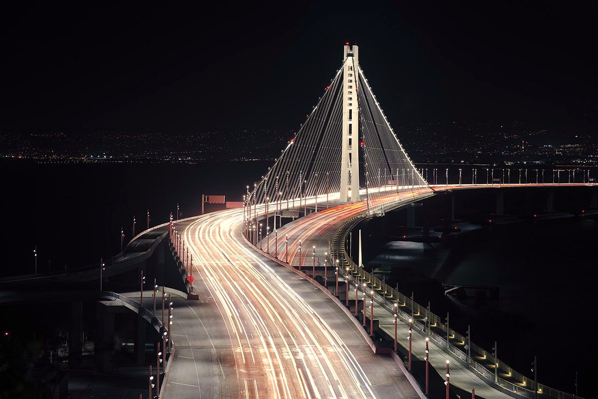
Yerba Buena Island is the natural rock the Bay Bridge tunnels through. Its parks have grown as part of the Treasure Island/Yerba Buena Island development project.
The parks
SF Rec and Park says it took over operating the Treasure Island and Yerba Buena Island parks on July 1, 2026. The Treasure Island Development Authority still owns them, and parks that haven't been renovated yet stay under its control. According to SF.gov, Yerba Buena Island's parks are open dawn to dusk and include:
- Panorama Park, a three-acre hilltop park with 360-degree bay views and Hiroshi Sugimoto's Point of Infinity sculpture
- Signal Point, a two-acre overlook next door. Its parking area is closed to vehicles, so the city says to use the lot next to Panorama Park.
- Buckeye Grove and Willow Bridge Park, stormwater gardens planted with more than 50 native species
- Clipper Cove Beach, a sandy beach off Treasure Island Road
- YBI Vista Point near the Bay Bridge East Span bike and pedestrian path, and the Bimla Rhinehart Vista Point on Pier E-2 of the old eastern span
The history
According to the Treasure Island Museum, geologists say Yerba Buena became an island only about 7,000 years ago, when the bay filled as the glaciers melted. Stone tools, beads and shell remains dating from 1450 BC to 1480 AD were found during Bay Bridge construction. The museum says these suggest the Huchiun Ohlone may have used the island as a fishing station or settlement.
The museum says Juan Manuel de Ayala mapped the bay in 1775 and named this island Isla de las Alcatraces. In 1826, Captain Beechey mistakenly gave that name to the island now called Alcatraz. Yerba Buena was also known as Sea Bird Island, Wood Island and Goat Island before its name was officially changed in 1931.
Getting there
SF.gov notes the YBI Vista Point sits by the Bay Bridge East Span bicycle and pedestrian path. Check SF.gov and SFMTA for current bus, ferry and path access before you go.