
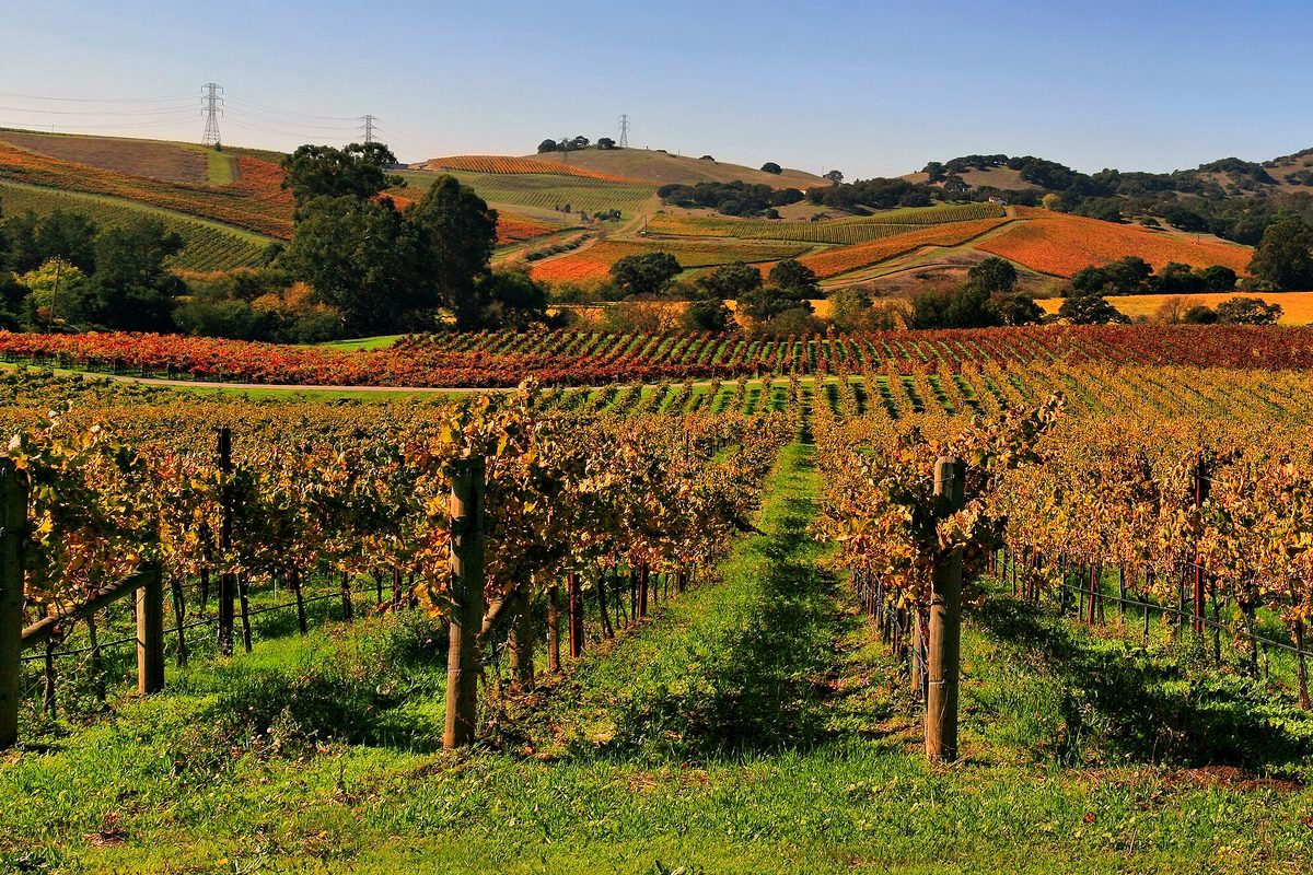
Sugarloaf Ridge State Park is at 2605 Adobe Canyon Road in Kenwood, in the Mayacamas Mountains between the Sonoma and Napa valleys. California State Parks says the park holds the headwaters of Sonoma Creek, which runs through a gorge and canyon and across a meadow. Wikipedia counts about 25 miles of trails, from under a mile to 8.8 miles long, with up to 2,500 feet of climbing. Visitors come to camp, picnic, ride horses, mountain bike, fish and stargaze.
Bald Mountain and the falls
The 2,729-foot Bald Mountain is the main goal for hikers. Wikipedia says the summit looks out on Mount St. Helena, the Napa Valley and, on clear days, the distant Sierra Nevada, with Mount Diablo to the south and Mount Tamalpais to the southwest. Sonoma Creek has a 25-foot seasonal waterfall. The park is also home to the Robert Ferguson Observatory, which volunteers run.
History
Wikipedia says the Wappo lived along Sonoma Creek for about 1,500 years. Ranching and charcoal-making followed in the late 1800s. The state bought the land in 1920 to dam Sonoma Creek for the Sonoma State Home, which ran a Boy Scout camp there from 1932 until World War II. The land became a state park in 1964.
Sugarloaf was one of the first parks slated to close under a 2011 state budget-cut plan. Team Sugarloaf reopened it in June 2012. The state parks site says the Sonoma Ecology Center and Team Sugarloaf now run the park.
State Parks finished prescribed burns along the Pony Gate, Canyon, Stern and Hillside trails on Oct. 28. It says parts of the Canyon and Pony Gate trails may close for a while so fire-weakened trees can be removed. For more, see our story on the October burn.