
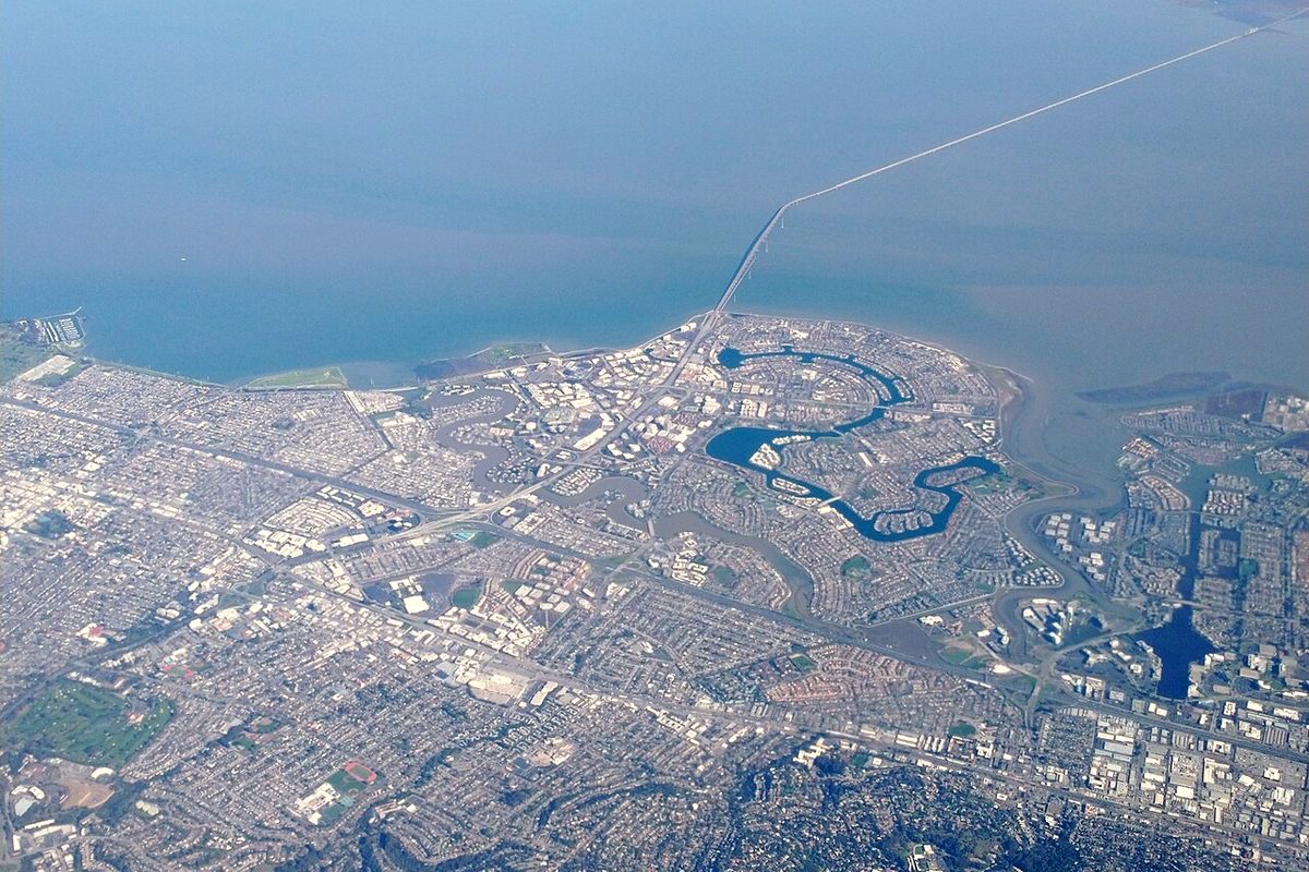
San Mateo County is getting ready for winter storms with help from a new set of weather radars. ABC7 reported that the system has six radars built for the Bay Area by the Center for Western Weather and Water Extremes (CW3E) at UC San Diego's Scripps Institution of Oceanography. It adds to the data from the National Weather Service.
Why it matters
"Most of these atmospheric river systems are very low -- within a few thousand feet of the surface. The big radars that the National Weather Service use tend to shoot over the top of those. So now we have ability to see them, before we didn't," said Ryan Reynolds, assistant director of the county's Department of Emergency Management.
County officials told ABC7 the extra data could give up to an hour of advance notice. That would let emergency managers send alerts to the neighborhoods at most risk. Officials said residents should still prepare and not rely on the radars alone.
The radar network
CW3E says the project, called AQPI, has five X-band radars and one C-band radar, and all were working as of March 2026. One X-band radar sits on Sawyer Ridge in San Mateo County, hosted by the San Francisco Public Utilities Commission. A C-band radar on Mount Barnabe in Marin County watches rain bands coming in from the ocean. Other radars are in Santa Rosa, Santa Clara, Santa Cruz and at Rocky Ridge in Contra Costa County. The project started with a 2016 state grant to the Sonoma County Water Agency.
F. Martin Ralph, the director of CW3E, told ABC7 that warm coastal water can make atmospheric rivers drop heavier rain. "What we don't know is how many of the storms are going to be atmospheric rivers," he said. Rep. Kevin Mullin has introduced a bill to improve storm alerts.
Earlier: San Mateo County's El Niño emergency and sandbags and this week's election week weather.