
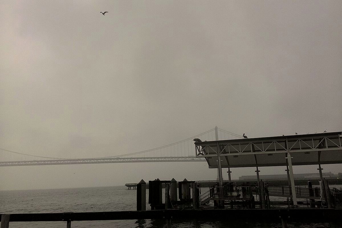
If you are wondering whether you need a rain jacket today, the National Weather Service in San Francisco said leftover showers are still moving through this morning, with dry weather more likely by Monday afternoon.
The office's 4:14 a.m. PST Monday discussion said beneficial rainfall had continued overnight across the Bay Area, East Bay and South Bay and was shifting south into the Central Coast. The main area of precipitation was expected to clear the Central Coast by early afternoon, with lingering isolated showers in the post-frontal environment through the rest of the day. Aviation forecasters said the main frontal rainband was pushing through South Bay, East Bay and Central Coast terminals at dawn, with scattered showers behind it, and they had moderate confidence that dry conditions would prevail by Monday afternoon.
Near SFO, the discussion said scattered rain showers could briefly lower ceilings and reduce visibility through the morning, with VFR conditions expected by the afternoon as onshore winds increase, up to about 15 knots, before easing overnight. Mostly VFR conditions were expected elsewhere, except for LIFR fog in the North Bay, the discussion said. Fog could redevelop at Santa Rosa early Tuesday morning, with low confidence.
Daytime highs were forecast to run 5 to 10 degrees below normal today, a theme NWS said would last through the extended forecast. A sharpening trough will bring colder air aloft tonight into early Tuesday, especially at higher elevations. The office decided against a Cold Weather Advisory "for the time being," given the limited coverage of temperatures 36 or lower in low-lying valley locations. That is a narrower call than a blanket frost warning, and it can be updated if inland valleys turn colder than expected.
Tuesday looks mostly dry, aside from isolated to scattered showers over the water that may drift inland in the morning, before the next front arrives from the North Bay late Tuesday, the discussion said. That midweek system, with a possible wind advisory, thunderstorm chances and a slight risk of excessive rain, is a separate story from today's leftover showers.
The practical takeaway for Monday is simple and time-limited: plan for on-and-off showers and slick roads this morning, especially in the South Bay, East Bay and along the Central Coast, and for a drier afternoon if the forecast holds. The outlook can change. Check the latest NWS San Francisco forecast and, if you are flying, the SFO aviation update, before you commute or head to the coast, where a high surf advisory remains in effect through 4 a.m. Tuesday.
Related: Sunday's midweek storm outlook and the high surf advisory through Tuesday morning.