
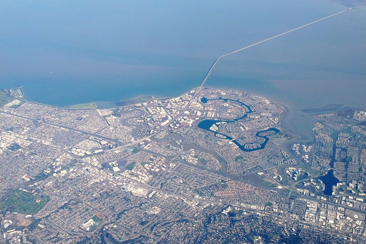
Vargas Plateau Regional Park rises quickly and steeply from the bay plain. The East Bay Regional Park District says it reaches 1,000 feet above the streets below, overlooking Niles Canyon, Fremont, Union City, Newark and San Francisco Bay. On top, the 1,249-acre park is mostly open pastoral land, with the Bay Area Ridge Trail running along the ridgetop.
Visiting
The park address is 2536 Morrison Canyon Road in Fremont. From Nov. 1 to March 7, it is open 8 a.m. to 5 p.m. It has more than 6 miles of hiking, biking and equestrian trails, but the district says the steep grades make them generally unsuitable for wheelchair users. Facilities are limited to a trailhead with a restroom and an interpretive panel. There is no drinking water, so bring enough for yourself and any animals.
Wikipedia cautions that car parking at the trailhead is very limited and street parking isn't allowed. It also reports that in October 2025 the county gave up maintenance of a 0.2-mile section of Morrison Canyon Road, and the adjacent owner put up a gate blocking public access. Check current access before you go.
A wildlife corridor
The park district says the plateau is an important ridgetop link between Garin, Pleasanton Ridge, Mission Peak and Sunol. That lets populations of threatened species mix and recover. Its ponds hold the threatened California red-legged frog and Alameda whipsnake and the federally threatened California tiger salamander. Ground squirrel burrows on the high ground shelter salamanders, frogs and snakes, and the squirrels draw white-tailed kites and northern harriers. The plateau is a prime spot for watching raptors. Golden eagles forage here, and coyotes, bobcats and mountain lions range across it.
The Vargas family
The land likely lies in the homeland of the Tuibun or Causen, Ohlone-speaking peoples who began living and laboring at Mission San Jose in 1797. It later became part of the Rancho Ex-Mission San Jose grant to Juan Bautista Alvarado and Andres Pico, which American courts invalidated. By 1878 the land was a horse-breeding ranch.
In 1909, Antonio Francisco Vargas took over 444 acres of the "lower ranch." Three years later, his brother Manuel and nephew Edward bought 550 acres of the "upper ranch" for sheep and cattle and dryland farming. The park district bought the Vargas land in 1993. Pearl Vargas sold it below market for $1.9 million, donating more than $1 million of its appraised value. In 1996 the district bought the Tavares family's upper ranch for $4.7 million, and it added the Rose and Comcast properties in 2010.
A long road to opening
Wikipedia traces years of delays. The park finally opened on May 5, 2016. On July 13, 2016, a court order closed it after neighboring ranch owners said road improvements required under a 2012 settlement hadn't been finished. The district settled, agreed to build a paved shoulder on Vargas Road and a vehicle turnaround on upper Morrison Canyon Road, and reopened the park on May 15, 2017. The district says future plans for group and trekking camps depend on an upper staging area and road improvements, and could take years.