
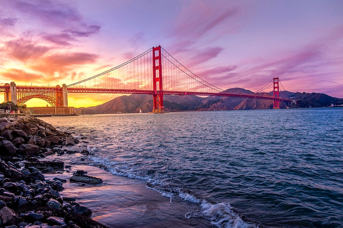
El Granada sits on the San Mateo coast about 25 miles south of San Francisco, just past Princeton-by-the-Sea and Pillar Point Harbor. It has two connected county parks that make an easy half-day outing.
Mirada Surf: the bluff
San Mateo County Parks says Mirada Surf West is a 15-acre coastal bluff just south of Pillar Point Harbor, one of the few undeveloped bluffs in the area. The California Coastal Trail crosses it, with benches and two picnic tables at the north end. A 0.36-mile multi-use, ADA-accessible trail runs from Magellan Avenue to Surfers Beach. Parking and restrooms are at the south end off Magellan Avenue. The county notes there's no direct beach access from the bluff itself. Beach access is at Magellan Avenue to the south and Surfers Beach to the north.
Across Highway 1, the 34-acre Mirada Surf East is protected open space with a trail up to Quarry Park. Hikers, joggers, equestrians, cyclists and leashed dogs are all allowed, but cyclists must stay on the Coastal Trail and service roads.
Quarry Park: playground and forest
The county lists Quarry Park at 517 acres, including the 478-acre Wicklow property it added, about 4 miles north of Half Moon Bay's historic district. The entrance is at Santa Maria Avenue and Columbus Street; from Highway 1, exit at Coronado Street and follow the signs. The developed area has tot and youth play areas, picnic tables with barbecues, a community garden, a tree house, a restroom and parking.
Trails climb from there through meadows, a large eucalyptus forest, pine and cypress groves and the old quarry floor. They lead to an algae-covered lake and a raised boardwalk at a harbor-view vista point. The 1-mile Vista Point Trail starts as a service road at the main parking lot and has ocean views through the trees.
Why the streets curve
While you're there, notice El Granada's concentric, semicircular streets. Wikipedia says they were designed by planner Daniel Burnham for the Ocean Shore Railroad, which built the town as a seaside resort. The county adds that Mirada Surf was grazed by cattle and farmed for hay and other crops as early as 1861. Its east and west parcels date to Burnham's 1906 plan, which set aside the east parcel for a railroad freight station and yards.