
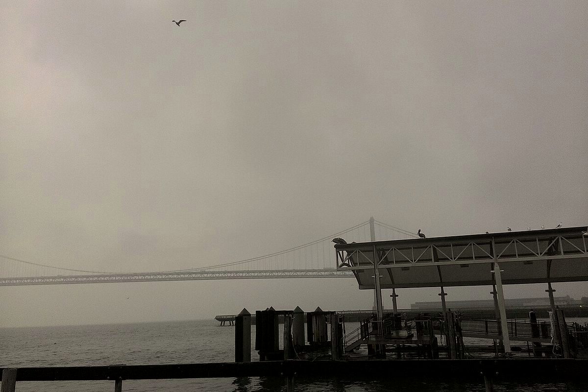
Oyster Bay Regional Shoreline is a bayfront park in San Leandro, just south of Oakland International Airport. It is part of the East Bay Regional Park District, and it is still being built up, one truckload of soil at a time.
From landfill to park
The site was a landfill for 37 years until it filled up in 1977 and was capped with clay, according to Wikipedia. The park district bought the land in 1980 with plans to turn it into a park. Since then it has brought in clean soil to shape the ground and improve drainage. In 2013 the district's board adopted a land use plan amendment that calls for new access and parking, formal trails, a bike skills area, disc golf and an off-leash dog area.
The district says that soil delivery and grading are still going on, so some areas may be closed.
What is there now
- Bay Trail: A 2-mile stretch of the San Francisco Bay Trail runs around the edge of the park. It is paved from the Neptune Drive entrance to the Bill Lockyer Bridge.
- Rising Wave: The interior trails climb to a viewpoint topped by "Rising Wave," a sculpture by Roger Berry.
- Disc golf: The 18-hole course is free to play and sits past the sculpture.
- Monarch garden: A quarter-acre garden holds 300 plants that flower from fall through winter, giving overwintering monarch butterflies nectar.
- Picnics: There are seven group picnic areas, none of them reservable.
The park district says birders can spot marsh hawks, black-shouldered kites, red-tailed hawks and shorebirds, and the views across the bay are wide open.
Visiting
The park is open from 5 a.m. to 10 p.m. unless signs say otherwise, and parking is free. The main entrance is at 1600 Neptune Drive. From I-880, take the Marina Boulevard exit west, then turn right on Neptune Drive. There is also a walk-in entrance at the Bill Lockyer Bridge. Restrooms are near the picnic area and the new lawn.
Dogs must be on leash on paved trails, according to Wikipedia. Unleashed dogs are allowed only on unpaved, unimproved trails.