New Calistoga Flood Maps Could Change Insurance Requirements; Meeting Set Nov. 16
Napa County is asking property owners around Calistoga to review preliminary FEMA flood maps that could expand the area considered at least a 1% annual flood risk. The maps do not change requirements today.
By the Bay Area Brief staff · Edited by Seamus McKenna · · 2 min read
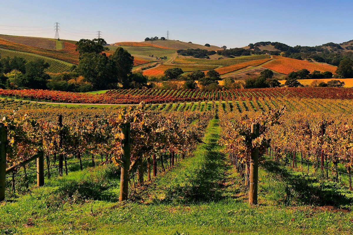
Vineyards in Napa Valley in autumn. Photo: Brocken Inaglory / Wikimedia Commons, CC BY-SA 3.0 (cropped, resized and color-graded). Archive photo of the area; not a photo of the events in this story.
Napa County is asking property owners around Calistoga to review preliminary FEMA flood maps that could expand the area considered at least a 1% annual flood risk. The maps do not change requirements today.
The county’s public announcement and Bay City News say a hybrid meeting is scheduled for 2 p.m. PT Monday, Nov. 16, at the Calistoga Community Center, 1307 Washington St. FEMA and mapping partners will explain the proposals and take questions.
Buildings newly included in the risk area may face insurance requirements once maps become effective, depending on mortgage and lender rules. A formal 90-day comment and appeal period is expected after the meeting; FEMA will announce the dates. Final maps and their effective date come only after comments and appeals are addressed.
The day's Bay Area housing, business and neighborhood news, plus the world headlines that matter, in one short email. Free, and you can unsubscribe anytime.
We use your email only to send the Brief. Details in our privacy policy.