
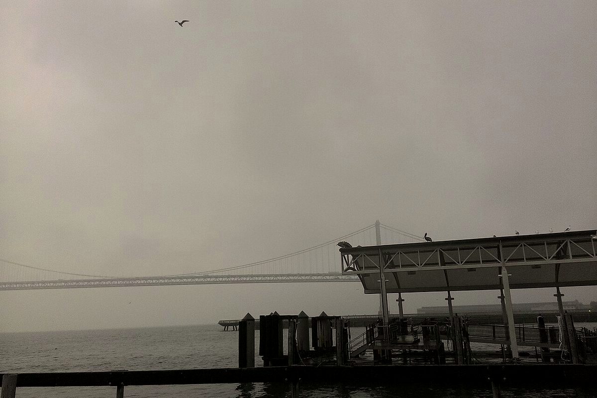
Saturday's historic surf was only the start of a rough week on the California coast, the San Francisco Chronicle reported. National Weather Service meteorologist Rachael Kennedy told the paper, "We don't drop below 10 feet for our forecast wave heights at all this week. It's definitely going to be hazardous at the coast this week."
Kennedy said a new low-pressure system in the Gulf of Alaska was expected to bring another round of beneficial rain to the Bay Area on Sunday afternoon, followed by a peak in waves overnight into Monday around 20 feet, lower than Saturday's swell but still dangerous at the beaches. Models were trending stronger for a midweek storm that could bring similarly large waves of 25 to 35 feet from a slightly more westerly and southerly direction, which the Chronicle said could expose different stretches of coast, including Santa Cruz, to more significant damage.
Significant wave heights, the average of the highest third of waves, are forecast to peak around 25 feet Wednesday evening, the paper reported. Maximum waves can be nearly twice that large, so individual waves of 40 to 50 feet are possible. Kennedy said the mid- to late-week system carries a stronger wind threat, more substantial rain and a higher chance of thunderstorms. Model rainfall totals ranged from 1.5 to 6 inches across the Bay Area from Wednesday morning through Friday, with wind gusts of 35 to 50 mph.
The Chronicle said weather models also point to an unsettled atmosphere off the coast from Wednesday night through Thursday, with ocean temperatures more than 10 degrees above November norms adding energy and moisture for thunderstorms. Atmospheric pressure off Northern California on Wednesday night was forecast among near-record lows for November, which can bulge sea levels 2 to 2.5 feet above tide charts. Higher water lets waves run farther up beaches and hit bluffs and seawalls with more force. Thanksgiving week will bring even higher water because of the lunar cycle, the paper said.
The National Weather Service's Bay Area office, in an update Sunday evening, had a high surf advisory in effect through 4 a.m. Tuesday, with breaking waves of 20 to 25 feet and occasional sets of 25 to 35 feet at favored breaks, plus sneaker waves and strong rip currents. The office told people to stay off jetties, piers and rocks, remain out of the water and never turn their backs on the ocean.
The service's Sunday briefing listed Sunday and Monday as moderate risk for high surf and rain, Tuesday as a brief break after lingering showers before the next system arrives Tuesday night, Wednesday as high risk for widespread rain, strong winds, thunderstorms and high surf, and Thursday as a lingering moderate risk. A second Pacific storm arriving Tuesday night into Wednesday may bring heavy to excessive rainfall and possible flooding for coastal central and southern California, and heavy mountain snow in the Sierra, the service said.
For anyone planning a beach walk, a coastal highway drive or a midweek outdoor event, the practical advice is the same as the weekend: keep your distance, and check weather.gov/bayarea before you go.