
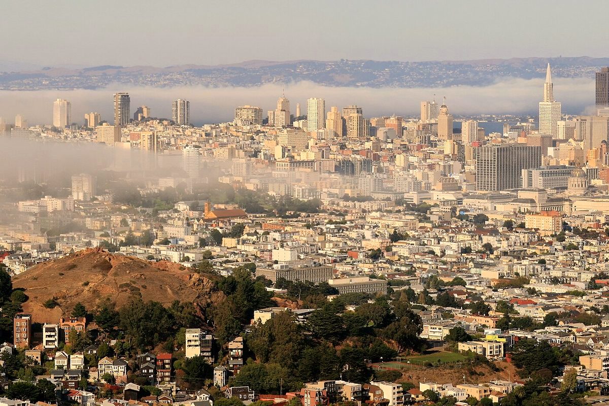
The Bay Area's first meaningful rain since May is on the way, with showers expected to arrive Wednesday morning, Oct. 21, and continue on and off into Thursday, Oct. 22. The National Weather Service's Bay Area office describes it as "beneficial light rain," not a storm. The San Francisco Chronicle reports that about a tenth of an inch is most likely in San Francisco, Oakland and San Jose, with a range from almost nothing to a quarter inch. Even a tenth would be more than those cities have measured since May.
Timing
- Tuesday, Oct. 20: dry and calm with more clouds and below-normal temperatures. A stray shower could reach the Santa Cruz Mountains, Santa Clara and San Mateo counties late Tuesday night.
- Wednesday, Oct. 21: forecasters expect showers to reach Monterey Bay first, around 5 a.m., and spread into the Bay Area between about 5 and 11 a.m. The steadiest rain is expected Wednesday afternoon and evening, when the weather service says heavier showers could lower clouds and visibility at SFO.
- Thursday, Oct. 22: lingering showers, with a 20% to 40% chance of rain across the Bay Area as the low moves east.
- Friday and the weekend: high pressure returns, bringing drier, slightly warmer weather with highs in the 60s and 70s.
Who gets the most
The rain comes from a cutoff low-pressure system sitting off the coast. Because its center tracks toward the Central Coast, the South Bay, Peninsula, East Bay and Santa Cruz areas are expected to get more than the North Bay. The weather service says the North and East Bay are less likely to see "wetting rain," meaning more than a tenth of an inch, while chances rise toward Monterey County.
Thunderstorm chances stay below 20% and are highest along the Central Coast on Wednesday afternoon. The Storm Prediction Center has put areas just south of the Monterey County line under a marginal risk of severe storms. Forecasters are watching the Big Sur coast near the Timber and Plaskett fire burn scars, where a downpour could trigger debris flows or flash flooding on Highway 1. Los Angeles and Santa Barbara have a better shot at half an inch or more than San Francisco does.
Tuesday's weather by region
San Francisco should reach the mid-60s under increasing clouds with light winds. The North Bay will run 5 to 7 degrees below normal, in the mid-60s to low 70s. The East Bay will see highs in the mid- to upper 60s near the bay and up to the low 70s inland. San Jose, Campbell, Saratoga and Los Gatos could hit the mid-70s. Lows Tuesday night will be in the low to mid-50s across most of the region.
Before the first rain
The first rain after a long dry stretch makes roads slick with oil, so allow extra stopping distance on Wednesday's commute. Bay Area cities have been preparing for El Niño storms this winter; San Jose's storm-prep workshop is also on Oct. 21, and Oakland has laid out its $3.6 billion storm drain backlog.